A few weeks ago I decided to attempt to ride the nearly lost, but not forgotten Canyon Ridge Trail #689 near Mt. Baker. This is one of the only high-alpine trails in the western N. Cascades that is open to mountain bikes. The main access via Canyon Creek Road has been closed for the last few years due to washouts and lack of funding. To say this ride is off the beaten path is a serious understatement.
 |
| The start of Canyon Creek Road is just off of Hwy 542 shortly after Glacier. The road is closed to cars, but not bikes! This is a very low starting point of less than 1000 ft above sea level, which effectively keeps (almost) everyone away. |
 |
| The ride started out with 15 miles of abandoned forest service roads before reaching the trailhead and actual singletrack. The first half was paved but inundated by the forest in post-apocalyptic fashion. This photo is from higher up the Canyon Creek valley, where the roads were still in surprisingly good shape. |
 |
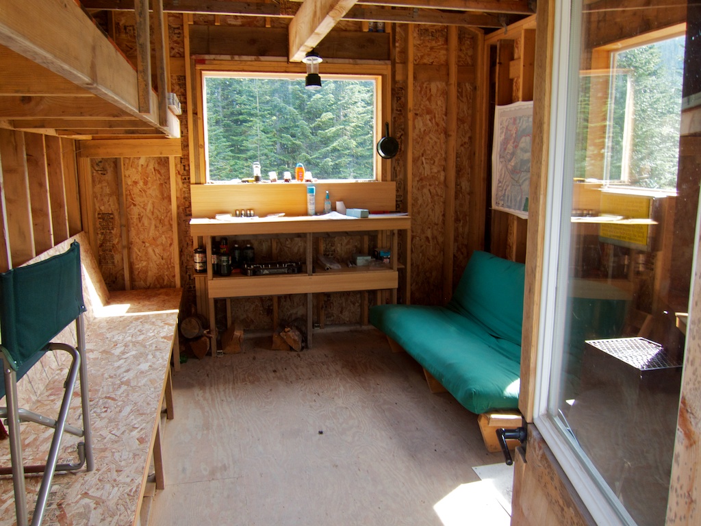
| Apparently these roads were groomed for snowmobiles up until the road closure. This was a strange random warming hut. |
 |
| Inside the warming hut. |
 |
| Damfino Lakes trailhead at about 4200 ft elevation. |
 |
| The first trail intersection after a half mile. Notice the blowdown. |
 |
| This was a very frequent sight. |
 |
| The trees started to open up as I climbed to the ridge top. The 10 mile Canyon Ridge Trail followed the obvious ridge line. |
 |
| Shuksan, Baker, and the Canyon Ridge Trail barely visible along the ridge. |
 |
| I was down there earlier! |
 |
| Oh Canada! |
 |
| Overuse does not threaten this trail. |
 |
The high point of the ride was this saddle at 5400 feet. At this point in the ride I was expecting to be near the end of the trail until I checked out my map. Turns out I was only around the halfway point and the real adventure was about to begin. The trail disappeared completely and my only guide was my map and occasional ribbons or cairns. This was definitely the mental crux of the ride as I had to decide if I should turn around (very long back-track) or keep going and risk getting lost or coming to a dead end in the neglected trail.
|
 |
Looking northeast from the high saddle into the Fraser River Valley and BC mountains.
|
 |
| Well, I survived! After miles of hike-a-bike, bushwacking, swarms of hungry bugs, and who knows how much vertical ascending, I made it back to the lower Canyon Creek Road and descended back to the car. Whew, that really was an adventure! |


Cool ride report, thanks for the heads up. Me and five buddies are headed up there soon on moto's. will pack a chainsaw and a come along, should be able to clear the route most if not all the way. You from Bellingham?
ReplyDeleteI'm glad I can help! A chainsaw and run through on the motos would help the trail out a ton. Yes, I am from Bellingham. You?
ReplyDeleteYup, mostly a MTB guy/trail builder, we cleared that trial stem to stern Saturday. Took 6 guys and 2 chainsaws 8 hours to clear but its open now. Beautiful area, gorgeous views. Most of the crew I was with knew or knew of you, in fact one of them works with you :-)you should see the killer rock bridge we had to build over the very last log that dislodged the huge bolder, it was killer.
DeleteWow, your comment totally made my day! I really want to get back up there now! Thanks a lot for the hard work!
ReplyDeleteThis ride looks great; definitely want to get out there this summer. Thanks for the write-up.
ReplyDeleteWhat would you say about the ability of doing this on a cross bike?
ReplyDelete