Twin Sisters high traverse and double summit with Dusty. 1.5 hours of mountain biking on logging roads (not shown) and 11 hours of hiking and climbing on some of the best rock around (the largest area of exposed olivine in the western hemisphere).

Thursday, September 27, 2012
Monday, September 24, 2012
Canyon Ridge Report - Sep 8, 2012
A few weeks ago I decided to attempt to ride the nearly lost, but not forgotten Canyon Ridge Trail #689 near Mt. Baker. This is one of the only high-alpine trails in the western N. Cascades that is open to mountain bikes. The main access via Canyon Creek Road has been closed for the last few years due to washouts and lack of funding. To say this ride is off the beaten path is a serious understatement.
 |
| The start of Canyon Creek Road is just off of Hwy 542 shortly after Glacier. The road is closed to cars, but not bikes! This is a very low starting point of less than 1000 ft above sea level, which effectively keeps (almost) everyone away. |
 |
| The ride started out with 15 miles of abandoned forest service roads before reaching the trailhead and actual singletrack. The first half was paved but inundated by the forest in post-apocalyptic fashion. This photo is from higher up the Canyon Creek valley, where the roads were still in surprisingly good shape. |
 |
| Apparently these roads were groomed for snowmobiles up until the road closure. This was a strange random warming hut. |
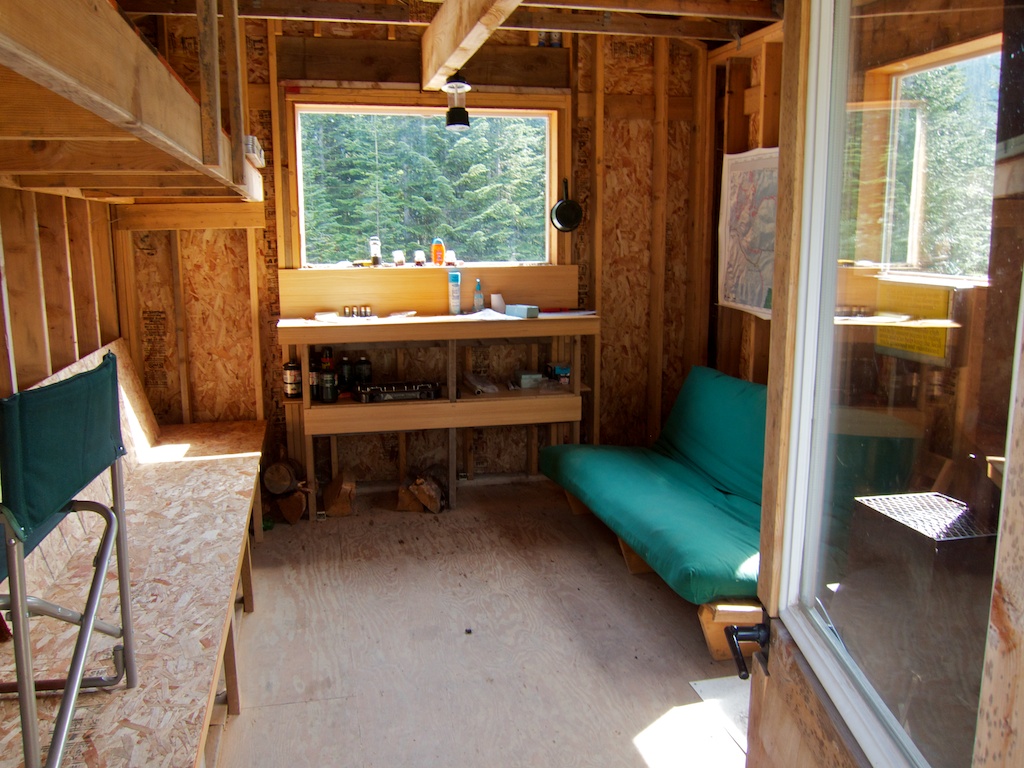 |
| Inside the warming hut. |
 |
| Damfino Lakes trailhead at about 4200 ft elevation. |
 |
| The first trail intersection after a half mile. Notice the blowdown. |
 |
| This was a very frequent sight. |
 |
| The trees started to open up as I climbed to the ridge top. The 10 mile Canyon Ridge Trail followed the obvious ridge line. |
 |
| Shuksan, Baker, and the Canyon Ridge Trail barely visible along the ridge. |
 |
| I was down there earlier! |
 |
| Oh Canada! |
 |
| Overuse does not threaten this trail. |
 |
| The high point of the ride was this saddle at 5400 feet. At this point in the ride I was expecting to be near the end of the trail until I checked out my map. Turns out I was only around the halfway point and the real adventure was about to begin. The trail disappeared completely and my only guide was my map and occasional ribbons or cairns. This was definitely the mental crux of the ride as I had to decide if I should turn around (very long back-track) or keep going and risk getting lost or coming to a dead end in the neglected trail. |
 |
| Looking northeast from the high saddle into the Fraser River Valley and BC mountains. |
 |
| Looking east from high saddle. Canadian and American Border Peaks, Mt Larrabee, and Yellow Aster Butte on the horizon. |
 |
| Well, I survived! After miles of hike-a-bike, bushwacking, swarms of hungry bugs, and who knows how much vertical ascending, I made it back to the lower Canyon Creek Road and descended back to the car. Whew, that really was an adventure! |
Saturday, September 15, 2012
Mt Maude
I had a great labor day dude-weekend in Leavenworth this year. Friday and Saturday were spent in the woods celebrating my good friend Chris' last days as a bachelor. He and Courtenay are tying the knot and I wish them the best!
Sunday was spent mountain biking Chickamin Ridge with friends and Monday was spent climbing Mt Maude with Loren. The climb was really more of a hard 16 mile hike with some scrambling to the 9082 foot summit. Mt Maude is one of the highest non-volcanic peaks in Washington and is located in between Glacier Peak and Lake Chelan in the Glacier Peak Wilderness. I was originally planning to do this one solo, but was able to recruit some company after talking Loren into it.
 |
| 9100ft Seven Fingered Jack (left) and our ridgeline route up Maude (right). |
 |
| Loren and I in the Leroy Creek Basin below Seven Fingered Jack. |
 |
| A marmot catching some morning rays. |
 |
| Loren crossing an enormous avalanche gully with Glacier Peak coming into view. |
 |
| Chiwawa Mountain (left) and Glacier Peak (right). |
 |
| Looking down at Ice Lake. Notice the red tent (left) for scale. |
 |
| Our route followed the snow field and then the ridge to the summit. |
 |
| Looking back down the summit ridge with the Chiwawa River Valley in the distance. |
 |
| Some scrambling near the summit. |
 |
| Magnificent 10,541 foot Glacier Peak. |
 |
| Summit of Maude. |
 |
| Headwaters of the Entiat River. |
 |
| Descending off the ridge. |
 |
| Meandering trail through porous lavarock and ash. |
 |
| Old strange log. |
 |
| Larch trees before their full glory. |
Friday, September 14, 2012
August 2012
Yeah, I know, it's mid September and I am posting about what I did in August. It was a busy month for me with school, work, and racing, but I am finally catching up.
Whitney and I drove down to California for the Downieville Classic "All-Mountain World Championships" over a 4-day weekend. It was a lot of driving and our time there was way too rushed, but we still enjoyed the experience. It was really great to race in a new scene and meet a bunch of people. The trails down there were rocky and gnarly. Not what I expected. I flatted in the XC and had a conservative but fun run in the Downhill. Whitney did great in her races and made everyone look a little soft on their full suspensions and 29ers. The long technical downhills made us both glad we had done so many Trailhead workouts. Downieville racing was exciting and challenging.
 |
| Getting ready for the XC. The race started in Sierra City and finished in Downieville. I had to hitchhike back to the car after the race. The "shuttle" was basically nonexistent. Got pulled over by a Sheriff for riding in the back of a pickup truck. Lame. |
 |
| Whitney and I at Packer Saddle, the 7000 ft start of the Downhill. We camped just down the road. The course drops 5000 ft in 17 miles to the finish in Downieville. It was a race like non other I have done. |
The Capitol Forest Classic was possibly the most fun race weekend of 2011. The 2012 edition did not disappoint. The Friends of Capitol Forest do an incredible job maintaining their trails and putting on events. They are a passionate laid back group of people who love to spend time in the woods. After winning the race in 2011, I wanted to defend my king-of-the-mountain crown this year.
I won the XC, and finished 3rd in the Downhill behind Bellingham buddy Lars Sternberg and Capitol Forest local super-ripper Matt Jagger. Lots of beer, good food, and great company iced this cake of a weekend. I see this race becoming a long tradition for me.
The final race of the NW Epic Series and my final mountain bike race of the year was the Capitol 50/100 miler. Last year I raced the 100 and it really hurt... a lot. I wasn't getting a huge amount of time on my bike this summer, so I decided to race the (relatively) short 50 mile.
Jason Kettrick (Audi) set a fast pace the first few miles of the race, but I eventually went around him and found myself alone. The course was one huge mostly-singletrack 50 mile loop. Sloane Anderson from Bend, Oregon kept nearly catching me on the climbs, but I was always able to pull away on the rolling and downhill singletrack. The long descent down GL6 was especially fresh in my mind after the Capitol Forest Classic two weeks earlier. I started the race with two water bottles which also gave me a small advantage, only having to stop once for water. It actually would have been nice to stop more and take advantage of the well-stocked aid stations!
I'd like to give a big thanks to Noble Bikes, Magura, American Classic, Schwalbe, Clif Bar, Uvex, Noble Chiropractic and all of you out there who support me and my racing. I am excited for what the future brings!
 |
| 2012 All-Mountain Champ. FOCF rocks! |
The final race of the NW Epic Series and my final mountain bike race of the year was the Capitol 50/100 miler. Last year I raced the 100 and it really hurt... a lot. I wasn't getting a huge amount of time on my bike this summer, so I decided to race the (relatively) short 50 mile.
 |
| Start of the Capitol 50. |
Jason Kettrick (Audi) set a fast pace the first few miles of the race, but I eventually went around him and found myself alone. The course was one huge mostly-singletrack 50 mile loop. Sloane Anderson from Bend, Oregon kept nearly catching me on the climbs, but I was always able to pull away on the rolling and downhill singletrack. The long descent down GL6 was especially fresh in my mind after the Capitol Forest Classic two weeks earlier. I started the race with two water bottles which also gave me a small advantage, only having to stop once for water. It actually would have been nice to stop more and take advantage of the well-stocked aid stations!
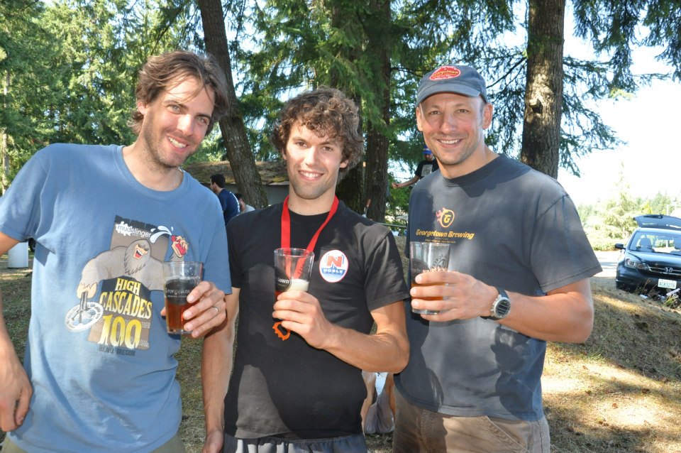 |
| Roger (left) runs the NW Epic Series. Roger (right) brought all the delicious Manny's Pale Ale. Thanks Rogers! |
 |
| 3 for 3 |
I'd like to give a big thanks to Noble Bikes, Magura, American Classic, Schwalbe, Clif Bar, Uvex, Noble Chiropractic and all of you out there who support me and my racing. I am excited for what the future brings!
Monday, September 10, 2012
Lake Whatcom Reconveyance
Yeah, I know, it's been forever since I've posted anything on here. I've done a bunch of races, fun rides and hikes, but most of all, I've been busy and not motivated to do computer stuff at home after staring at a monitor all day at work. I'll try to play catch-up in the next couple of weeks as I switch from work to school. Next Wednesday is the last day of my internship at Heath Tecna. I learned a lot, made new friends, and enjoyed my time there.
Tomorrow (Tuesday) night is an important meeting and potentially the last hurdle in approving the Lake Whatcom Land Reconveyance. If passed, the plan would allow 8000 acres of land to be used for recreation, including mountain biking. Lookout and Stuart Mountains, both just outside of Bellingham, could be home to 50+ miles of singletrack and provide residents with a vast sustainable outdoor playground. Outdoor recreation is a very important part of our lives and Bellingham is already known far and wide for its amazing mountain bike trails and community. With the recent issues surrounding Galbraith Mountain, the need for legitimate long-term trail access is fresh in everyones' minds.
Come to the meeting tomorrow night (Tues 9/11) at the Whatcom County Council Chambers to show your support!
Subscribe to:
Posts (Atom)